On Sunday, July 15, I got together with my brother Brian and went off for a morning hike in a part of the desert where I had never been before–the White Tank Mountains west of the Phoenix area. Although it was hot and humid, I had a pleasant hike and learned a few things I had not known before.

Sky Islands–dust and smog in the atmosphere can make distant mountain peaks look like they are floating in the sky.
Brian is also a would-be photographer, and better at it than I am, and he thought these dawn shots back toward the desert to the south and east of us would be photogenic. My Sky Islands shot shows the distant peaks of the Sierra Eastrellas (Star Mountains) to the south of us.

7 a.m. in the Sonoran Desert. Summer monsoons, (rain showers) have been hitting Arizona lately, and the sun is just starting to break through the clouds of the previous evening. Saguaro and prickly pear cacti dominate this part of the country.
The area that we entered is a state park. It cost $5 to get in, but the roads and trails inside are well maintained, and there are plenty of places for picnicking. It is also about 40 miles from my house, and I would never ordinarily go that far just to walk around in the desert.

Brian studies the map, and I study the trail we will take. Hoping to see some water in the waterfall. The air smells of rain.

A short ways up the trail we found some petroglyphs. These are primitive patterns scratched into the rocks by the native americans who lived here hundreds or thousands of years ago.

Brian stepped up to get a closer look at the inscription.. No one knows what this meant–maybe it just indicates a trail, or a stream.

There were a lot of petroglyphs in a relatively small area. Could this have once been a ceremonial center or a regular camping spot for the nomadic people that once lived here?
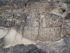
All these rocks are granite, which is normally white with black speckles, but in the desert the rocks get a coat of oxidized minerals that make them darker, brown, gray, and even black. Creating that varnish takes hundreds or thousands of years of weathering. To make a petroglyph, one need merely take another rock and scratch through that varnish.
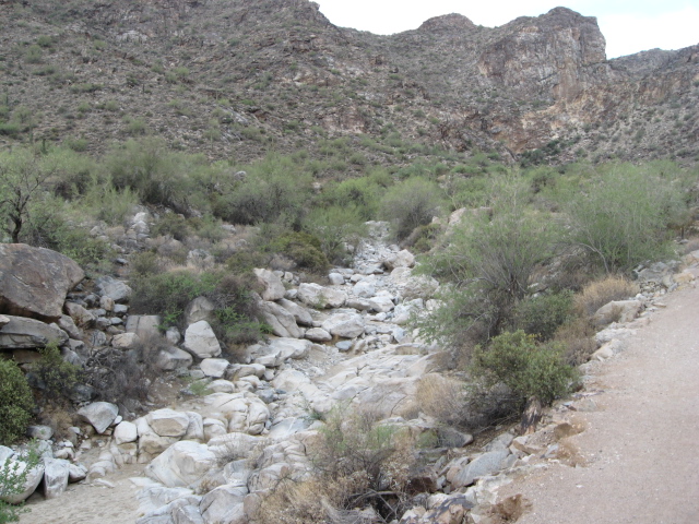
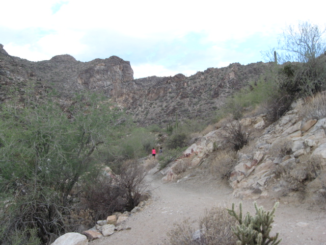
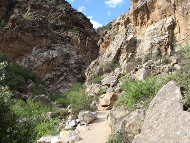
Desert rivers and creeks are dry most of the time. Our path follows this large arroyo. Water polished stone is white granite, and you can clearly see how desert varnish has blackened the same sort of rock that is normally above the occasional flow of water after storms.
Signs by the trail have told me that the native peoples lived here as long as 7000 years ago. This part of the mountain range is relatively high in food-producing plants, including prickly pear cactus and Mesquite trees. Wildlife is plentiful, although we only saw one rabbit, a couple of hawks, a chipmunk, and few lizards. Although we saw a few critters, they wouldn’t hold still long enough for me to take a picture of them.
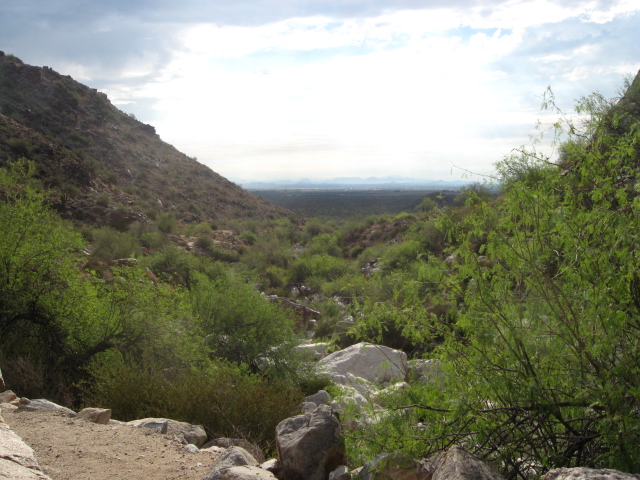
Looking downstream back toward the Valley of the Sun. I love this kind of vista, and such views are commonplace from the hill slopes around my city.
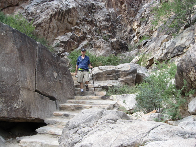
This is a pretty nice stairway to find out n the middle of a desert. Brian joked that it could be the stairway to heaven.
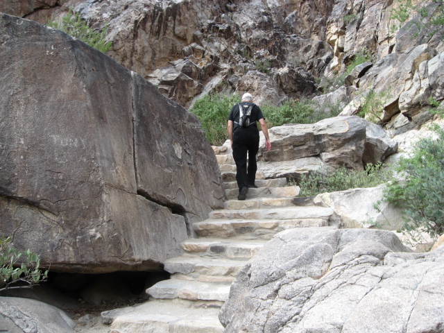
Up the trail I go. Can you imagine a desert troll or goblin living in that little cave at the base of the stairs? We joked about it, but neither of us wanted to climb into it to investigate closely.
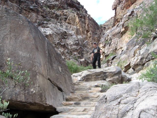
Ken the hunter is ready to spring upon his prey . . . or maybe break a leg. Jumping on these rocks is not a good idea unless one is a bighorn sheep.
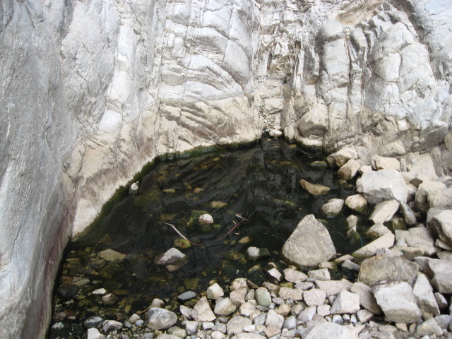
A tinaja (Spanish for water tank) is a place where the granite rocks retain rain water or runoff in little pools. This tiny puddle might have been a foot deep, a couple feet across. We didn’t get too close because bees were buzzing around it. The mountains are called the White Tanks because of the many tinajas formed in the white rock.
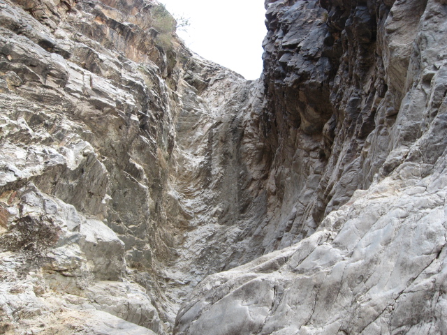
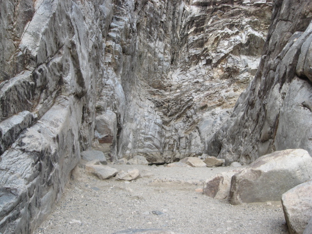
The canyon took a right angle turn here and went up quite steeply. We could follow it no farther. During rainy times, the waterfall would be coming down this pathway. Alas, there was no water in it on Sunday.
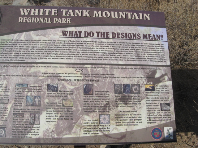
The parks department has done a really good job of putting up signs that explain what you’re seeing. I stopped and did a little reading at the end of the hike.
Well, it wasn’t a very difficult hike, but I enjoyed it. If you’ve ever seen a petroglyph, or even if you haven’t, feel free to leave a comment.
end

I saw some “rescued” petroglyphs at the visitor’s center of one of the big Columbia River dams. They were originally located deep in the gorge, in one of the areas flooded by the dam. I took picture of them with my first digital camera. I should dig those up and post them somewhere.
Ah, here you go! Seven pictures of Oregon petroglyphs:
Click “older” to browse through the set. There are some neat antelope, and a really cool thunderbird.
Looks like it was a fun hike.